Water Well Drilling Company in Grants Pass Oregon
Call us TODAy
✓ Call Your Local Well Drilling Experts
✓ Request a Free Drilling Quote
✓ Plan Your Well With Local Experience
✓ Start Your Water Well Project Today
Water Well Drilling Company
Planning a dependable water well near Grants Pass requires an understanding of Rogue River sediments, weathered bedrock and the fractured mountain formations surrounding the valley. Ground conditions can change considerably between a low-lying property near the river, a rural parcel toward Murphy and a hillside homesite north of the city.
Enloe Drilling & Pumps provides professional water well drilling in Grants Pass, Oregon for homeowners, ranchers, farmers and commercial property owners. Our multigenerational team reviews nearby Oregon well reports, likely geological conditions, site access and the property’s complete water demand before developing a drilling plan.
The City of Grants Pass operates a municipal water system that draws water from the Rogue River. Private wells are more common on rural properties, small farms and undeveloped parcels outside the city’s water-service boundary.
Local Geology and Drilling Conditions in Grants Pass
Grants Pass is located within the Rogue River Valley and is surrounded by the foothills of the Klamath Mountains. The lower areas contain river-deposited sand, gravel, clay, cobbles and boulders. Higher rural properties may encounter weathered granite, metamorphic rock or other older consolidated formations.
These geological differences affect drilling speed, casing requirements and groundwater production. A valley well may draw water from sand and gravel, while a hillside well may depend on individual fractures in solid bedrock.
Rogue River Alluvium
Properties near the Rogue River and its tributaries may be underlain by alluvium deposited during thousands of years of flooding and channel movement. These deposits can contain alternating layers of gravel, sand, silt, clay and large cobbles.
Coarse gravel and sand can provide useful groundwater when the deposits extend below the water table and connect to a reliable recharge source. Clay-rich layers may contain water but release it slowly.
Loose gravel and boulders can make the borehole unstable. Steel casing, well screens or other construction methods may be needed to keep the hole open and control sediment entering the finished well.
A property’s proximity to the Rogue River does not guarantee a shallow or productive well. The thickness, permeability and connection of underground deposits are more important than the surface distance to the river.
Older Valley Deposits
Properties beyond the modern floodplain may encounter older gravel terraces and weathered sediment. These deposits can sit above or against irregular bedrock surfaces.
Groundwater may collect in permeable gravel layers, along the contact between sediment and bedrock or inside weathered sections of rock. The depth and thickness of these zones can change substantially across a single area.
Fine material within the older deposits can restrict groundwater movement. A well may encounter water at a shallow level but still need additional depth to obtain sufficient production and water storage.
Fractured Bedrock in the Foothills
Hillside properties around Grants Pass may encounter granite, granodiorite, metamorphic rock and other hard formations associated with the Klamath Mountains. These rocks generally store and transmit groundwater through fractures, joints and weathered zones.
A productive fracture can provide a reliable residential supply. Solid rock between fractures may produce very little water. Two nearby hillside wells can therefore have different depths, static water levels and yields.
Fractured-rock wells can also respond to seasonal recharge. A well that performs strongly after a wet winter may experience lower production during late summer or after several dry years.
Typical Water Well Depths in Grants Pass
Well depths around Grants Pass cover a broad range because properties may draw from alluvial deposits, weathered rock or deeper bedrock fractures. Nearby well reports help identify patterns but cannot guarantee the result on an undrilled parcel.
Aggregated Oregon Water Resources Department records indicate a median completed depth of approximately 145 feet in the 97526 area and approximately 130 feet in the 97527 area. Records associated with the 97528 area show a median closer to 100 feet.
Many Grants Pass-area wells fall within an initial planning range of approximately 75 to 250 feet. Some productive valley wells may be shallower. Difficult hillside properties may require drilling to 300, 400 or more than 500 feet.
Before developing a Grants Pass drilling plan, we consider:
- Oregon well reports located near the property
- Completed depths, static water levels and reported flow rates
- The property’s distance and elevation relative to the Rogue River
- Whether nearby wells draw from gravel or fractured bedrock
- The slope and elevation of the proposed drilling site
- Seasonal groundwater changes and drought conditions
- Nearby domestic, agricultural and commercial pumping
- The required household, livestock or irrigation volume
- Septic systems and other possible contamination sources
- Space for the pump, pressure tank and water storage
The correct well depth cannot be selected by copying a nearby property. Drilling should continue until the well reaches a formation capable of supplying the required water and providing a suitable water column for pump operation.
Residential and Agricultural Water Requirements
Residential Water Wells Near Grants Pass
A domestic well must supply drinking water, bathrooms, laundry, appliances and outdoor faucets. Rural properties may also need water for guest accommodation, workshops, gardens, animals and emergency fire storage.
Peak demand is an important design consideration. Multiple showers, laundry appliances and outdoor watering may operate within the same short period.
A moderate-producing well may still serve a household successfully when it is paired with an appropriately sized storage tank. The well can refill the tank steadily, while a separate pressure pump handles periods of heavier demand.
Benefits of a properly designed residential well system include:
- An independent water source for qualifying rural properties
- A pump selected according to tested well production
- Storage options for moderate-producing wells
- Reserve water for periods of peak household demand
- Water planning for homes, gardens and limited livestock
- Reduced pump cycling and premature equipment wear
- Documented construction for future servicing
New well water should be tested before regular household use. Recommended testing may include total coliform bacteria, nitrate, arsenic and other substances associated with local geology or surrounding land uses.
Small Farms, Vineyards and Livestock Properties
Rural properties around Grants Pass support vineyards, pasture, livestock, gardens, orchards and specialty crops. These uses can require substantially more water than a normal household.
An agricultural well should be designed around the acreage, crop requirements, irrigation method and planned pumping schedule. The well, pump, motor, electrical service, storage and distribution system must work together.
Oregon exempts certain groundwater uses from the standard water-right permitting process. Qualifying domestic use and livestock watering are common examples. Larger irrigation, commercial and industrial uses generally require approval from the Oregon Water Resources Department.
A productive well does not automatically provide authority for unrestricted irrigation. Confirm the proposed use and water-right requirements before drilling or expanding agricultural production.
Access Considerations for Rural Grants Pass Properties
Access conditions range from level valley roads to narrow hillside driveways. A drilling rig and its support vehicles need more width, height, turning space and load capacity than ordinary passenger vehicles.
Winter rain can soften rural roads and farm access routes. Steep properties may have sharp turns, unstable shoulders and limited operating space. Wildfire damage can also leave weakened trees close to access roads and drilling sites.
Before equipment is mobilised, we assess:
- Road and driveway width
- Steep grades and tight corners
- Gate openings and turning space
- Bridge and culvert weight limits
- Soft ground and unstable road shoulders
- Overhead power lines and low branches
- Wildfire damage and hazardous trees
- Buried utilities and irrigation pipes
- Space for the rig, support trucks and casing
- Separation from septic and contamination sources
- Long-term access for future pump servicing
A hillside property may require grading to provide a safe, level drilling pad. A soft access road may need additional gravel or temporary reinforcement before heavy equipment arrives.
The completed well should remain accessible after buildings, fences and landscaping are installed. Pump service equipment must be able to work directly above the well.
Oregon Well Permits and Construction Requirements
Private water well construction near Grants Pass is regulated primarily by the Oregon Water Resources Department. A licensed and bonded Oregon well constructor normally drills the well, submits the required start card and files a well report after construction.
New wells serving exempt groundwater uses are subject to Oregon’s recording requirements. The well constructor generally submits the required well-location map and applicable recording fee with the completed well report.
Oregon construction standards address casing, seals, wellhead protection and separation from contamination sources. A water supply well generally cannot be placed within 100 feet of a septic drainfield or sewage-disposal facility unless an approved exception applies.
Josephine County’s On-Site Septic Program handles local septic applications and inspections. The proposed well, septic tank, primary drainfield and replacement drainfield should be planned together.
Properties involved in a land division may face additional groundwater requirements. A pump test may be required when a proposed new well is located within a documented groundwater quantity problem area.
The normal process includes:
- Confirming whether city or community water is available
- Defining the intended household, livestock or irrigation use
- Determining whether an Oregon water right is required
- Reviewing nearby well reports and groundwater conditions
- Selecting a location that meets current separation standards
- Coordinating the well location with the septic plan
- Preparing the access road and a stable drilling area
- Submitting the required start notification
- Drilling and installing approved casing and seals
- Developing and evaluating the completed well
- Selecting the pump, controls and storage capacity
- Filing the required well report and recording documents
Water-right rules, land-use requirements and fees can change. Property owners should confirm current procedures with the Oregon Water Resources Department, Josephine County and the City of Grants Pass when applicable.
Communities We Serve Near Grants Pass
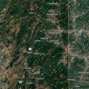
Our Grants Pass water well drilling service includes qualifying properties in and around:
- Grants Pass
- Merlin
- Murphy
- Wilderville
- New Hope
- Redwood
- Fruitdale
- Hugo
- Sunny Valley
- Wonder
- Galice
- Fort Vannoy
- Rural properties along Williams Highway
- Properties throughout the Rogue River Valley
Illustrative Grants Pass Water Well Drilling Scenario
The following example demonstrates how a typical Grants Pass-area project could be planned. It is an illustrative scenario and is not presented as a completed Enloe customer project.
Imagine a family developing a rural parcel southwest of Grants Pass. The plans include a three-bedroom home, a detached workshop, a vegetable garden and water for three horses. The property is outside the city water-service boundary.
Nearby well reports show a mixture of valley wells completed in gravel and hillside wells that depend on fractured bedrock. The proposed well location must remain clear of the septic drainfield, horse enclosure and a seasonal drainage channel.
The first step would be to calculate the combined household, livestock and garden demand. The access road would then be checked for width, overhead branches, turning room and the load capacity of a culvert at the entrance.
Suppose the completed well produces a steady residential supply but cannot immediately meet the horses’ water demand and full garden irrigation during the hottest summer days. A storage tank could collect water throughout the day while the pump operates within the well’s tested recovery rate.
The garden could be watered in separate zones during periods of lower household use. This approach would provide a practical supply while reducing excessive drawdown and unnecessary stress on the pump.
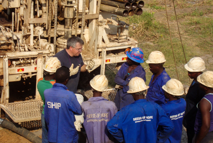
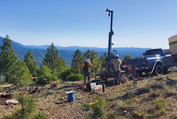
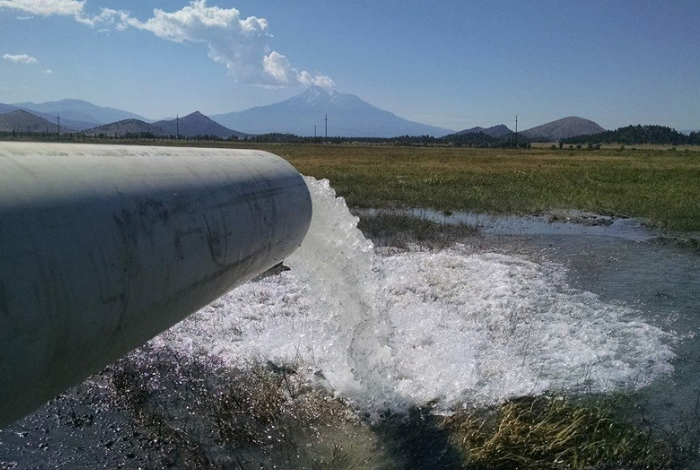
Images of some of our Drilling Projects


Benefits of Well drilling in Grants Pass, Oregon
Grants Pass wells can encounter loose river gravel, clay, boulders, weathered rock and hard fractured bedrock. Experience with these changing formations allows the drilling crew to make practical construction decisions as conditions become known.
Choosing Enloe Drilling & Pumps provides several advantages:
- Multigenerational water well drilling experience
- Knowledge of Southern Oregon valley and foothill geology
- Planning informed by nearby Oregon well reports
- Residential, agricultural and commercial drilling capabilities
- Well development, production testing and pump services
- Storage options for moderate-producing wells
- Practical access planning for rural and hillside properties
- Clear explanations of depth, yield and equipment choices
We do not guarantee a fixed depth or flow rate before drilling begins. We use available records to prepare for likely formations and base the final well and pumping system on the actual conditions encountered.
Your questions answered
FAQ About Water Well Drilling in Grants Pass, Oregon
What is the typical water well depth near Grants Pass?
Aggregated well records indicate median completed depths ranging from approximately 100 to 145 feet across the main Grants Pass ZIP code areas. Many wells fall within a broader range of about 75 to 250 feet. Some fractured-rock properties require depths of 300 feet or more.
Can I drill a private well inside Grants Pass?
That depends on the property and the availability of municipal water. Parcels inside or near the city may be required or expected to connect to the public system. Confirm service availability and local planning requirements before beginning a private well project.
Does being close to the Rogue River guarantee a productive well?
No. Groundwater production depends on the thickness and permeability of underground gravel, sand and fractured rock. A nearby river does not guarantee a particular well depth, yield or water quality.
Do I need an Oregon water right for a residential well?
Qualifying domestic groundwater use of up to 15,000 gallons per day is generally exempt from Oregon’s standard water-right permitting process. Construction, setback, reporting and recording requirements still apply.
How should I prepare a rural Grants Pass property for drilling?
Provide a stable route with enough width, height and turning space for heavy vehicles. Mark utilities, irrigation lines and septic components. Check gates, bridges, culverts and soft road sections, and prepare a level working area around the proposed well location.
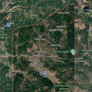
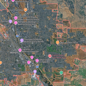
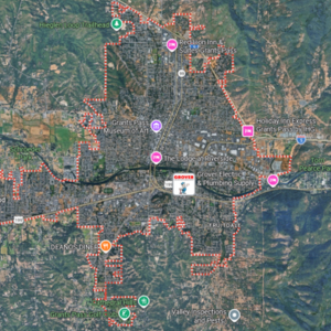
Locations in Oregon we Service
5 Interesting Facts About Grants Pass, Oregon
- Grants Pass was named after Ulysses S. Grant. The community’s original name, “Grant’s Pass,” celebrated Grant’s 1863 victory at Vicksburg. The apostrophe was removed after 1900.
- The city started as a stagecoach stop. Grants Pass served travellers during the 1860s and grew rapidly after the Oregon-California Railroad reached the community in 1884.
- The Rogue River has supplied the city’s water since 1888. The City of Grants Pass continues to draw raw water from the river before treating and distributing it through the municipal system.
- A nationally protected river corridor begins nearby. The 84-mile Rogue National Wild and Scenic River begins approximately seven miles west of Grants Pass and was one of the original rivers protected under the 1968 Wild and Scenic Rivers Act.
- Grants Pass is famous for its Boatnik celebration. The annual community festival features boat races, a parade and family activities centred around the Rogue River.
Read Our Latest Blogs

What Questions Should I Ask Before Hiring a Well Driller?
Most homeowners think hiring a well driller is as simple as collecting three quotes and choosing the lowest price. After years in the drilling industry,
What Happens If My Water Well Runs Dry?
If your water well runs dry, the first thing you should do is switch off power to the well pump and stop using water. Continuing

How to Choose Between Well Drilling Companies
Choosing a well drilling company involves more than comparing prices per foot. You are choosing the contractor who will build a water source your household,
Get in Touch
For all your water well drilling and pump needs contact us today
Address
507 Hummingbird Lane, Talent, OR 97540
Enloedrillingandpumps@gmail.com
Call Us
530-964-2807